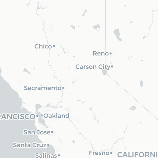
2005. This dataset represents features digitized to polylines from two United States Coast Survey map sheets recorded in 1855 and taken between Oakland a... South Bay Salt Pond Restoration Project.
Search Results
2005. This dataset represents features digitized to polygons from two United States Coast Survey map sheets recorded in 1855 and taken between Oakland an... South Bay Salt Pond Restoration Project.
2005. This dataset represents features digitized to polylines from two United States Coast Survey map sheets recorded in 1855 and taken in San Leandro. D... South Bay Salt Pond Restoration Project.
2004.
This dataset integrates several sources of data describing the historical features of South Bay tidal marshes. The primary source is the maps of... South Bay Salt Pond Restoration Project.
2004. This dataset integrates several sources of data describing the historical features of South Bay tidal marshes. The primary source is the maps of t... South Bay Salt Pond Restoration Project.


